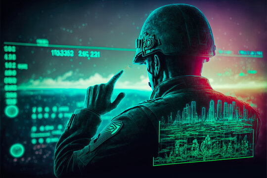
Military Intelligence Technique To Collect Information | OSINT
As we’ve seen through experience, contemporary armed conflicts necessitate fresh methods for arranging the gathering and examination of publicly available information, which we handle within the scope of open-source intelligence (OSINT). In this article, we’ll explore different tools that can be utilized in the context of frontline reconnaissance and the collection of information about events transpiring in the war zone from publicly accessible sources.
First, let’s start by understanding the basic idea of Military intelligence. Its primary objectives include gathering information about the enemy’s troop positions, movements, weaponry, equipment, personnel, ongoing missions, and occupied areas. In today’s conflicts, a substantial amount of this information can be acquired by consistently monitoring the Internet.
Now, let’s determine the types of data that will be included in our monitoring center.
How To Collect Information Video Streams Using Open Surveillance Cameras
You have the option to establish a system for gathering data from publicly accessible cameras in a specific area using the Kamerka program. This program is a useful tool for geolocation, data collection, and surveillance through Internet-connected ICS and IoT devices. Essentially, it enables you to identify the locations of vulnerable or unsecured security cameras worldwide.
Once the user enters the coordinates of the desired location, the script generates a list of devices and generates a corresponding map. The discovered cameras are displayed as icons, and clicking on them reveals the IP address of the respective device.
How To Get Information From Posts, Videos And Photos On Social Networks With Reference To The Location
Many social networks offer a feature that allows users to search for content based on location. Instead of relying on external Twitter search services like One Million Tweet Map, BirdHunt, or TwiMap, you can easily obtain content from specific coordinates within a 100-kilometer radius by using the command format geocode:13.08,80.27,100km.
To simplify the task and avoid the need to access each social network individually, I recommend utilizing a few services that integrate geolocation-based content searching across multiple social networks. These include Skylens, Geocreepy, and Social Geo Lens. Additionally, as an open-source alternative, I suggest geOSINT, which offers similar functionalities. For the most convenient usage, I recommend utilizing UniversalSearchRobot, which is in the form of a Telegram bot.
How To Find Telegram User Movements
This messaging app has become a commonly used platform for secure communication and sharing data. As a result, it comes pre-installed on the majority of military smartphones. Consequently, Telegram serves as a valuable source of information regarding movements in combat zones and important population centers.
If the military doesn’t hide the option to obtain their location data externally, we can collect this data using open-source solutions such as Geogramint, Telegram Trilateration, or Telegram Nearby Map. All of these solutions offer the specific functionality we are interested in.
How To Collect Information From News Feed
In today’s world, online news sources are increasingly valuable for gathering information about current events on the frontlines. Despite the fact that these sources sometimes publish false information due to unverified sources, seeking sensationalism, or even deliberate disinformation, monitoring media publications can still provide useful data. We can analyze and verify this data further by utilizing other available OSINT tools.
To create an RSS feed, I recommend using the standard Google Alerts service, and you can read the feed using services like StartMe or Feed Reader. I have written a more detailed guide on Medium about establishing a media monitoring center using public services. The concepts described in the article can also be applied to collect information from the media related to the specific topic we are interested in here.
How To Get Information From Satellite images
In addition to other tools, it is useful to utilize services that enhance the precision of satellite images during the planning and preparation of military operations. Some of these services include Flickr maps, OpenStreetMap Gadget Leaflet, basic maps from Yandex and Google, SentinelHub, and Zoom Earth. It’s worth noting that Zoom Earth can also provide up-to-date climate and weather information.
Final Words
Therefore, the tools available to the public can be invaluable for front-line intelligence, serving the needs of both Military Intelligence and OSINT researchers who have an interest in the subject.